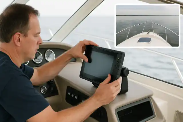
Marine-grade GPS units & chart plotters have revolutionised on-water adventures by delivering high-resolution coastal charts, real-time position tracking, and seamless integration with onboard sonar and autopilots. At Vautex, we specialise in sourcing and expertly installing premium GPS and chart plotting systems across Perth and surrounding suburbs.
Whether you’re planning a deep-sea fishing expedition, cruising the Swan River, or exploring remote anchorages, a custom-installed Vautex navigation solution ensures you plot your course with confidence, safety, and ease every time you head out on the water.
Trust Vautex to equip your vessel with precise navigation tools and seamless charting technology—so every voyage begins and ends with certainty, safety, and total control at the helm.
Professionally installed marine GPS units deliver pinpoint positioning, ensuring your vessel’s location is tracked with sub-meter precision. This accuracy helps you plot waypoints, avoid hazards, and follow maritime routes with confidence.
Accurate chart plotting reduces the risk of running aground and entering restricted zones by providing up-to-date nautical charts and real-time alerts. A correctly calibrated system keeps you aware of changing tides and underwater obstructions for safer voyages.
Expert installation guarantees your GPS/chart plotter integrates flawlessly with sonar, radar, and autopilot equipment. This unified setup enables synchronized data sharing so you can view depth readings, course corrections, and weather info on a single display.
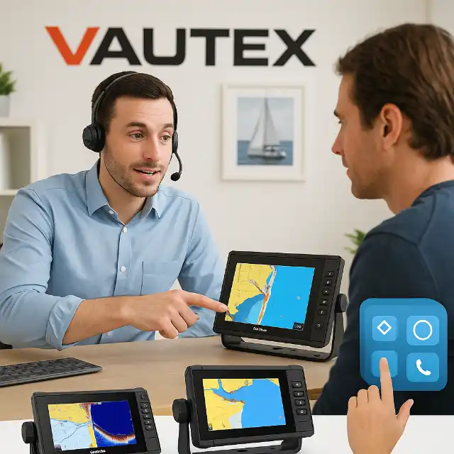
We’ve partnered with the marine electronics industry’s leading names—Garmin, Simrad, Lowrance and Raymarine—so you get proven performance, robust features, and ongoing software support from brands you trust.
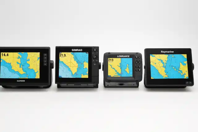
Garmin own Fusion, meaning their marine GPS systems offer seamless integration with Fusion stereo systems. You can control your music and navigation directly from your MFD (multi-function display), making it a smooth and user-friendly setup for any boating adventure.
The Simrad NSS range combines intuitive touchscreen controls with a physical control panel, making it easy to operate even in rough or unpredictable conditions. It's designed to keep you in full command whether you're cruising calm waters or facing challenging seas.
Lowrance tends to focus on providing solid, reliable units at a more affordable price point. Their designs are robust and functional, offering features like C-MAP\u00ae support, Genesis Live mapping, and CHIRP sonar, without over-complicating things or blowing the budget.
Raymarine is one of the most trusted brands on the water, with a reputation for quality and reliability. Their Axiom series delivers a user experience that shares a lot of the best features found in Simrad, with bright displays, smart interfaces, and great expandability for serious boaters.
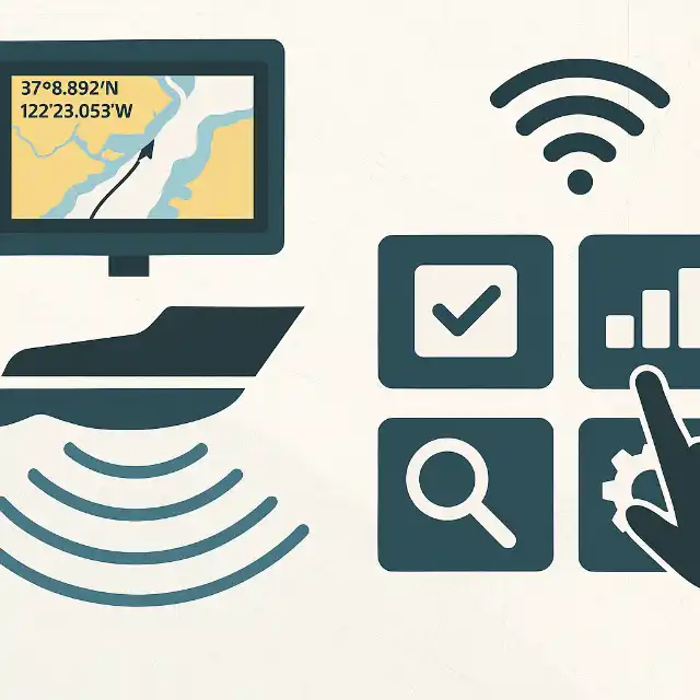
Explore the powerful capabilities that set modern GPS units and chart plotters apart—from high-resolution displays and advanced sonar to wireless connectivity and up-to-date global chart coverage.
Marine-grade touchscreens deliver crisp, anti-glare visuals even in direct sunlight, making charts and sonar data easy to read. Smooth zooming and panning improve situational awareness on every voyage.
Marine-grade touchscreens deliver crisp, anti-glare visuals even in direct sunlight, making charts and sonar data easy to read. Smooth zooming and panning improve situational awareness on every voyage.
Wi-Fi and Bluetooth support let you sync your GPS and chart plotter with mobile devices for remote monitoring and updates. Apps like Garmin ActiveCaptain and Raymarine Mobile bring charts, waypoints, and alerts straight to your phone.
Premium chart bundles include both global vector charts and detailed coastal telemetry, ensuring comprehensive navigation wherever you roam. Regular official updates keep your maps current and reliable.
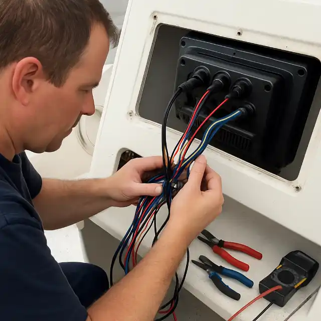
From an on-site assessment through sea-trial testing, we manage every step of your installation with meticulous planning, precision wiring, and comprehensive training so you’re ready to navigate immediately.
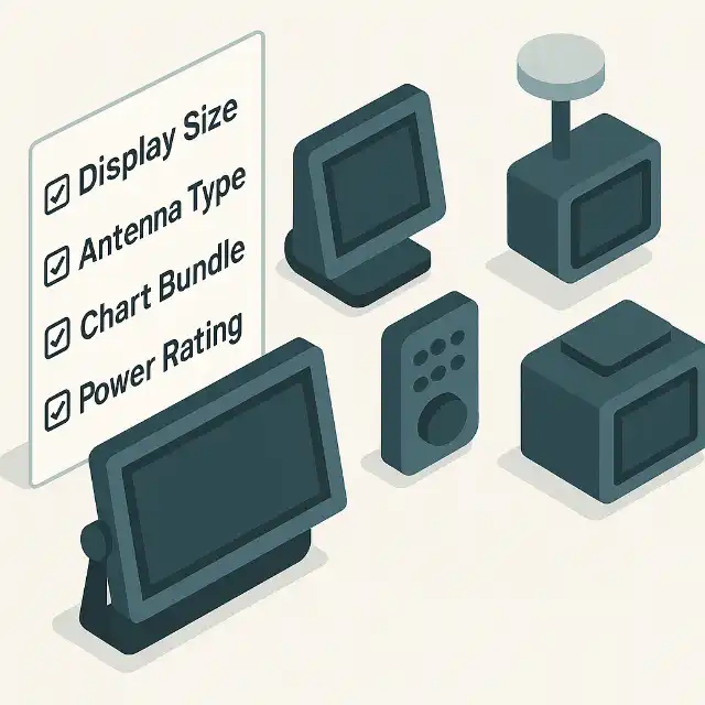
Consider helm space and viewing distance when choosing screen size—5″ units fit compact consoles, while 12″ displays offer expansive chart views. Flush, bracket, or gimbal mounts ensure a perfect fit for your vessel.
Evaluate included chart packages and the ease of updating maps; some brands offer free regional updates, while others require subscription plans. A user-friendly interface makes route planning and waypoint management effortless.
Evaluate included chart packages and the ease of updating maps; some brands offer free regional updates, while others require subscription plans. A user-friendly interface makes route planning and waypoint management effortless.
Energy-efficient models help preserve battery life on extended trips, especially with multiple electronics running. Ensure units meet IPX7/IPX6 ratings and MIL-STD certifications for resistance to water, salt, and vibration.
From an on-site assessment through sea-trial testing, we manage every step of your installation with meticulous planning, precision wiring, and comprehensive training so you’re ready to navigate immediately.
We start with a detailed survey of your vessel’s electrical layout and helm configuration to design a tailored installation plan. Our experts recommend optimal unit placement, cable routing, and power management solutions.
Using marine-grade cabling and connectors, we run neat, concealed wiring for reliable, corrosion-resistant connections. Chart plotters are mounted securely with stainless-steel hardware to withstand rough seas.
After installation, we calibrate sensors and align the unit to your boat’s specifications, verifying accuracy with real-time data. A sea trial lets us test performance under actual conditions and make fine adjustments.
We walk you through every feature of your new GPS and chart plotter system, from route planning to sonar interpretation. Our hands-on training ensures you feel confident operating your navigation setup independently.
We back every installation with guaranteed workmanship and full warranty support—handling manufacturer claims on your behalf and matching their coverage period so your system stays reliable year after year.
At Vautex, every installation is completed to the highest marine-industry standards. We use premium materials and proven techniques to ensure neat, reliable wiring and mounting that stands up to saltwater, UV exposure, and vibration.<
We stand behind our team’s skill and attention to detail. That’s why we offer a workmanship guarantee—if you ever encounter an issue related to our installation, we’ll make it right at no extra cost.
When you purchase your GPS unit or chart plotter through Vautex, we act as your advocate for the manufacturer’s warranty. We’ll handle any warranty claim on your behalf—and extend our own workmanship warranty to match the product’s coverage period for complete peace of mind.
Have questions about GPS vs. chart plotting, integration with radar or autopilot, or installation timelines? Find quick answers to the most common inquiries here.
A GPS unit provides your vessel’s coordinates, while a chart plotter overlays that position onto nautical charts for route planning. Combining both functions delivers a comprehensive navigation solution.
Most installations take 3–5 hours, depending on your vessel’s complexity and the number of units. We provide upfront time estimates during our on-site assessment.
Yes—modern chart plotters support NMEA 2000 networking, allowing seamless integration with radar, autopilot, and other marine systems. We configure and test all connections for optimal interoperability.
Absolutely—our certified technicians can diagnose, update, and repair most brands of marine GPS and chart plotter, ensuring your existing setup operates at peak performance.
Greg is great to deal with—really knowledgeable and professional. The service came highly recommended by word of mouth, and now we see why!
We definitely recommend Vautex if you need your caravan serviced!

Vautex were awesome. Was able to book in for a service within a few weeks when most places were booked out till post Xmas.
Greg was great to deal with and we avoided the logistics of dropping/collecting the camper at the services center.

Vautex was fantastic. Replaced my solar controller then tested and troubleshooted the system to find a loose connection which he repaired.
Highly recommend Vautex for any work.

Greg was very easy and professional to deal with. From our initial phone call, booking confirmation to arriving on time.
I will definitely use Vautex again, very happy.

Greg is thorough, professional & helpful. I really appreciated his feedback also.
So convenient being a mobile service as I could have my caravan serviced at home.
High recommended!

Greg has carried out a range of jobs on my vessel over the past year. His responses have always been rapid and the work performed has always been top notch.
Greg sourced the best items required for what was required and his advice has always been practical, invaluable and very much appreciated.
